What kind of battery do surveying and mapping drones use?
May 20, 2023 Pageview:723
The remarkable emergence of surveying and mapping drones has revolutionized geospatial data collection, offering unparalleled efficiency and accuracy across diverse industries.
Central to their operation is the crucial role played by batteries, the lifeblood that powers these aerial marvels. In this article, we embark on a captivating exploration into the world of surveying and mapping drone batteries.
Together, we will unveil the most useful types, and shed light on the indispensable role of drone mapping technology.
Join us on this illuminating journey as we demystify the power source propelling these extraordinary airborne devices.
Which brand of battery for surveying and mapping drones is good?
When venturing into the realm of surveying and mapping drone batteries, the significance of selecting a brand that exudes reliability and excellence cannot be overstated.
The landscape is adorned with esteemed manufacturers who have risen as formidable leaders in the industry, bearing a reputation that resonates with trust and quality.
These distinguished brands place utmost emphasis on crafting batteries of unparalleled durability, endowed with longevity and unwavering performance.
They embody the very essence of seamless operations, empowering surveying and mapping missions to soar to new heights, while enabling extended flight times that transcend conventional limitations.
Embark on this illuminating journey as we navigate the realm of superior battery solutions for surveying and mapping drones.
What are the most useful batteries for UAV?
The captivating world of UAV batteries unfolds a vast array of options meticulously tailored to meet the unique demands of surveying and mapping drones.
Delving into the selection process, several crucial factors beckon consideration to ensure impeccable suitability for these airborne wonders.
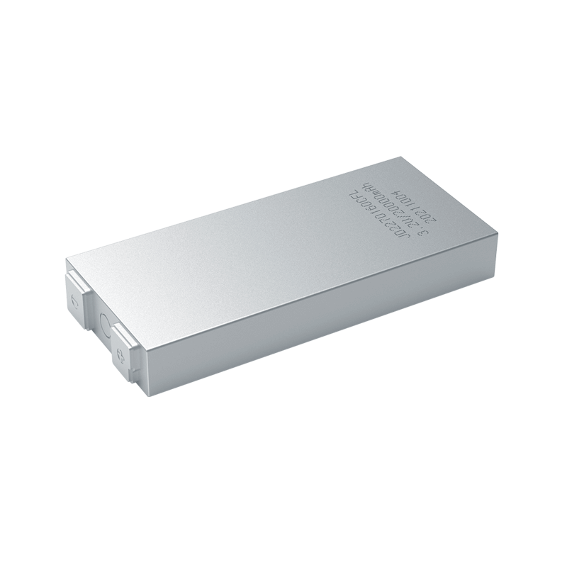
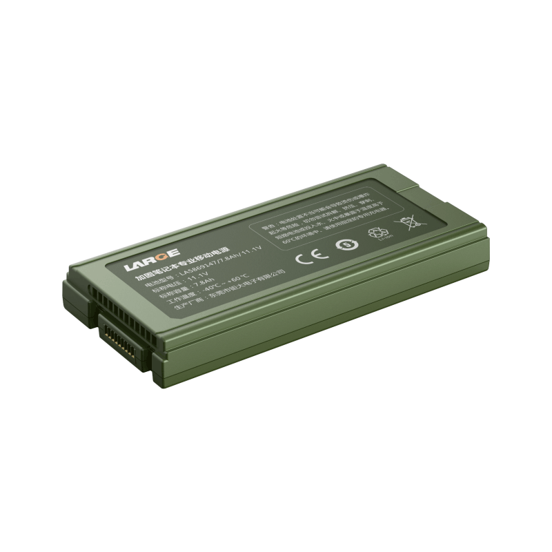
Among the treasure trove of options, advanced lithium-polymer (LiPo) batteries emerge as stalwarts, captivating with their enticing blend of high energy density, featherweight construction, and amplified power output.
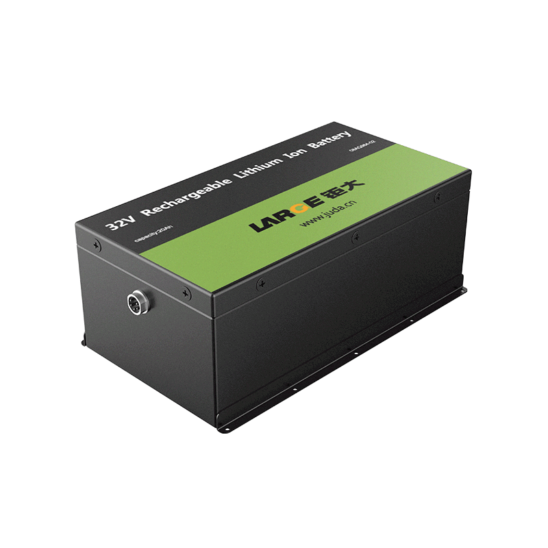
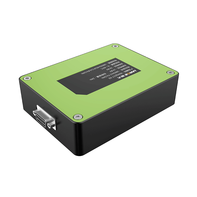
Equally enticing are the lithium-ion (Li-ion) batteries, revered for their enduring performance, unwavering stability, and augmented safety features, making them an illustrious choice for UAV mapping endeavors.
Amidst this landscape, the inclusion of nickel-metal hydride (NiMH) and solid-state batteries adds another dimension of intrigue, accommodating specific project needs and engendering boundless possibilities.
What is drone mapping used for?
Drone mapping has emerged as an invaluable and transformative tool, forging a path of innovation across a multitude of industries.
Its advent has sparked a seismic shift in the landscape of geospatial data collection, breathing new life into traditional methods.
The potential is immense, as drone mapping revolutionizes the very essence of how we gather and analyze spatial information.
It empowers professionals to traverse uncharted territories, uncovering hidden perspectives from above, and capturing stunningly high-resolution imagery that transcends conventional limitations.
With its unparalleled precision and efficiency, drone mapping finds its applications woven intricately across diverse sectors, including land surveying, urban planning, construction, agriculture, environmental monitoring, and disaster management.
Let's explore the multitude of applications and the significance of drone mapping technology:
Applications of Drone Mapping Technology:
Drone mapping finds application in fields such as land surveying, urban planning, construction, agriculture, environmental monitoring, and disaster management.
These unmanned aerial systems offer a bird's-eye view, allowing professionals to capture high-resolution imagery, create accurate topographic maps, and generate three-dimensional models of landscapes.
This data proves instrumental in decision-making, project planning, and resource management across diverse industries.
Uses of UAV Mapping in Various Industries:
The integration of drone mapping technology has brought forth numerous benefits across industries. In construction, surveying drones aid in site analysis, progress monitoring, and volumetric calculations, ensuring accurate measurements and streamlined project management.
Similarly, in agriculture, UAV mapping assists in crop health assessment, precision farming, and yield optimization, leading to enhanced productivity and resource utilization.
The applications extend to infrastructure development, environmental conservation, and many other sectors, where the high-quality data acquired through drone mapping serves as a foundation for informed decision-making.
Importance of Drone Mapping in Surveying:
Drone mapping has transformed traditional surveying practices by offering unparalleled efficiency, safety, and accuracy. Surveyors can now cover large areas in a fraction of the time, reducing costs and eliminating risks associated with manual data collection.
The precise data obtained through drone mapping enables professionals to create detailed topographic maps, assess elevation changes, and identify potential hazards or changes in terrain, empowering them to make well-informed decisions with confidence.
Benefits of Aerial Mapping With Drones:
The advantages of employing drones for aerial mapping are as plentiful as they are captivating. These unmanned systems herald a new era, allowing for swift deployment, real-time data acquisition, and the capture of breathtaking high-resolution imagery, elevating the efficiency of surveying and mapping endeavors to unprecedented levels.
One of the paramount benefits lies in the mitigation of human error, as drones bring forth a seamless and precise data collection process, culminating in heightened accuracy and unwavering reliability.
Moreover, their unparalleled ability to access remote and perilous locations, including treacherous slopes and previously inaccessible terrains, accentuates the indispensability of drones in the realm of mapping.
Furthermore, the non-intrusive nature of drone operations fosters an environment of minimal disruption, both to the natural surroundings and the surveying process itself.
By reducing the reliance on ground-based equipment, drones emerge as an environmentally friendly choice, embracing sustainability and eco-consciousness.
Batteries and Mapping: Unleashing Efficiency
Surveying and mapping drones are powered by batteries that play a critical role in their performance and functionality.
Choosing the right battery brand, considering factors like reliability and durability, is essential for uninterrupted operations. Lithium-polymer (LiPo), lithium-ion (Li-ion), and other advanced battery types offer valuable options for surveying and mapping drones, providing power, efficiency, and extended flight times.
Drone mapping technology has revolutionized the way we collect geospatial data, finding applications across various industries.
The accuracy, efficiency, and versatility offered by drone mapping have reshaped surveying practices, enabling professionals to make informed decisions based on detailed maps, 3D models, and accurate measurements.
The benefits extend beyond surveying, with industries such as construction, agriculture, and environmental monitoring reaping the rewards of this cutting-edge technology.
As the demand for accurate geospatial data continues to grow, surveying and mapping drones will remain vital tools in various fields.
By understanding the importance of batteries and the applications of drone mapping, professionals can harness the power of these aerial devices to unlock new levels of efficiency, precision, and innovation in their respective industries.
- Prev Article: Leading US Lithium-Ion Battery Producers
- Next Article: Analysis of China's Power Battery Management System Industry in 2020
Leave Message
Hottest Categories
-
Hottest Industry News
-
Latest Industry News


